I thought I’d belt out a few words on the subject of the
Somerset Levels from a newbie perspective.
They’re awesome.
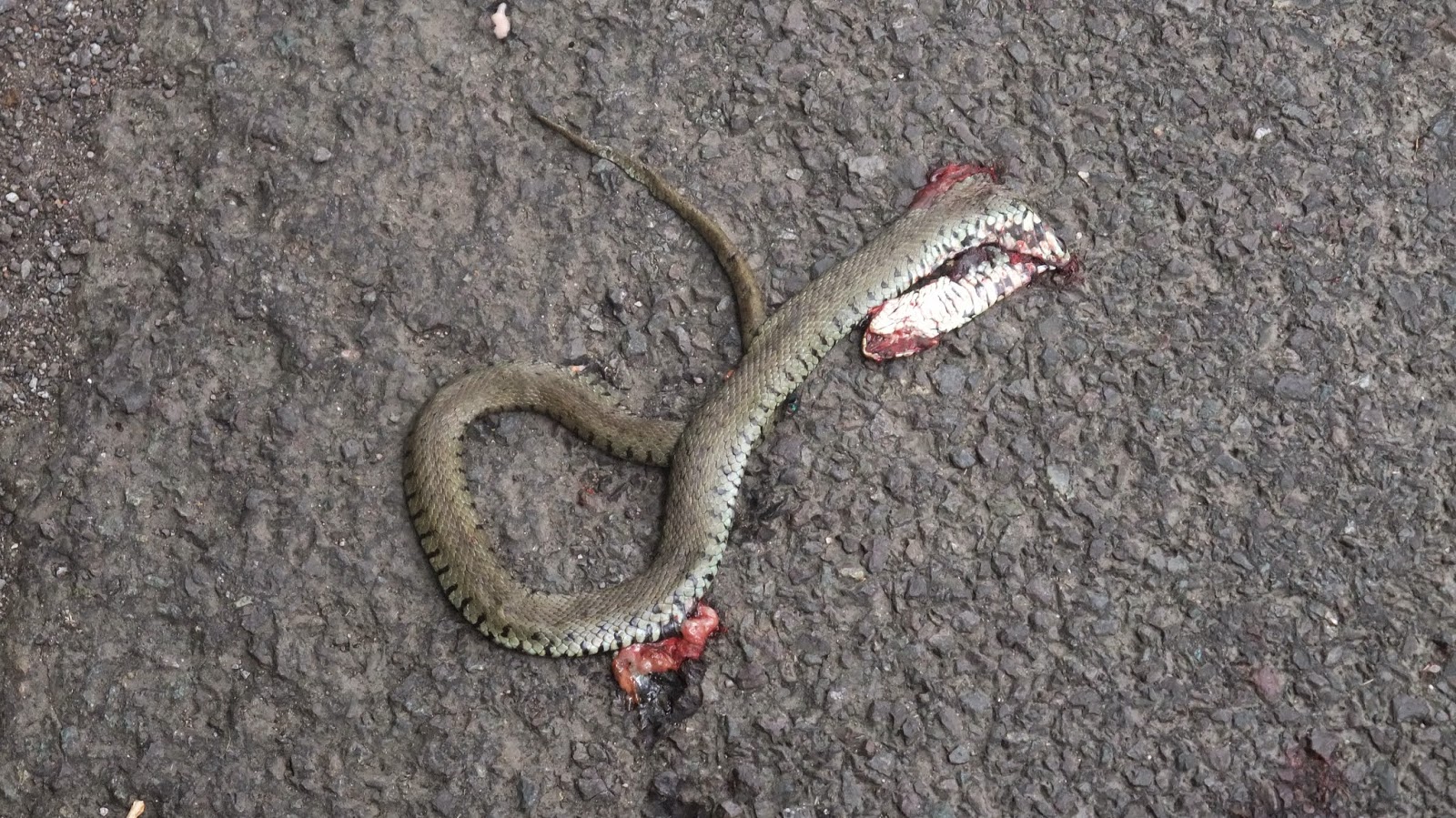 |
| Dead Grass Snake (first reptile road kill I've ever seen). |
That’s it enjoy the pictures.
 |
| Hay Collecting (not baling). |
But seriously, they are amazing. I bought the Ordnance survey maps of our immediate vicinity (Explorer series maps 140, 153 and OL9) this includes Weston-Super-Mare, the Quantocks and Exmoor.
 |
| Top Right of tree, that's a Buzzard, they were following the Hay collectors |
 |
| Two more Buzzards taking off. |
 |
Mendips, Crook Peak
The first thing you notice about the levels on a map,
is the blue of the Rhynes (ditches and canals). These form (literally) a
spiders web pattern across the entire district known as Sedgmoor. They are also
the reason the levels are still here. The second thing you notice is the
overall absence of contour lines except at the edges and around the once
islands of:
|
and
There are a
few others but none so immediately recognisable.
 |
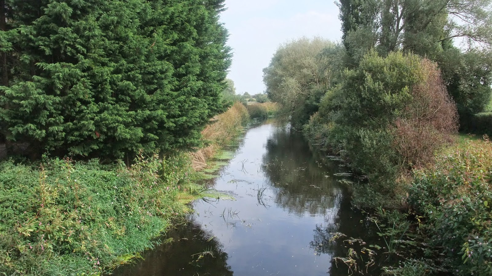
| Rhyne |

At the very
edges to the north are the Mendips and to the south the Quantocks, with a slim
but substantial ridgway formed by the Polden Hills inland but extending west of
Glastonbury sitting between the two major ranges. That sounds like quite a lot
of hilly bits. However on paper these lumpen pieces of land sit in seas of
white broken only by the blue webwork of Rhynes. The unitary boundaries and
works of man in the form of towns, roads and railway (though not much of the
last) make up the rest of the usual infill detail. As maps go it’s actually
been one of the most difficult to navigate, just because the white is so
extensive and the blue of the Rhyne systems so ubiquitous. But once you have
your eye in, other features start to resolves themselves. However you can’t be prepared
for the scale of the Rhynes and their impact on the landscape. The map gives
you the perspective, it lets you see the sheer scale of the endeavour to
reclaim the moors and marshes from the 1200’s onwards.
 |
| Brickhouse Sluice |
 |
| Brickhouse Sluice bottom |
 |
| New Rhyne at Brickhouse Sluice |
 |
| The outfall two stage drop |
 |
| The working parts |
Some Rhynes are little more than ditches ... albeit big
ditches. Others like King’s Sedgmoor drain are wider than the rivers Huntspill
and Brue someway inland (also worth noting that the Huntspill is not in anyway following its
natural courses for a significant distance, the Brue appears on paper and on
the ground to be a little more natural, but extensively managed). The rivers are
more akin to navigations like canals, but without locks, just dotted here and
there with sluices to control the levels and major sluices at the point where
they merge with the River Parret and eventually discharge into the Bristol
Channel. You cannot fail to be impressed by the engineering effort, and
confounded by the task of maintaining them (see floods a paragraph or so
lower).
 |
| Crook Peak (we were up top of that on the Saturday) |
 |
| Dragonfly |
The Rhynes
provide both irrigation and drainage for the land, the entire Levels landscape
is more or less manufactured. After 2013 winter rains, clearly there had been
failings (that said historically the flooded areas have always flooded right
back to the 1200’s and the monasteries, so no surprises that if your home was
built in a major flood risk area at some point it’s going to get flooded) Exert
from here appended:
http://en.wikipedia.org/wiki/Winter_flooding_of_2013%E2%80%9314_on_the_Somerset_Levels
Early attempts
to control the water levels were possibly made by the Romans, but were not
widespread.[13] The Domesday Book recorded that drainage of the higher
grounds was under way, although the moors at Wedmoor were said to be useless.[14] In the Middle Ages, the monasteries of Glastonbury, Athelney, andMuchelney were responsible for much of the drainage. In 1129, the Abbot
of Glastonbury was recorded as inspecting enclosed land at Lympsham. Efforts to control flooding on the
Parrett were recorded around the same date. In 1234, 722 acres (292.2 ha)
were reclaimed near Westonzoyland and, from the accounts in the abbey's rent books, this had
increased to 972 acres (393 ha) by 1240.[15]
 |
River Bridge (that's its name) over the the River Brue
Facing West. |
 |
| Facing East |
Inland a mile or so, off the beaten track, the land is flat
and great for cycling if you’re past your best years of fitness, traffic is
minimal as are the actual roads, and you’re never more than a couple of metres
from a Rhyne unless you’re standing in the middle of a field, in which case
your likely as not surrounded on all sides by a Rhyne.
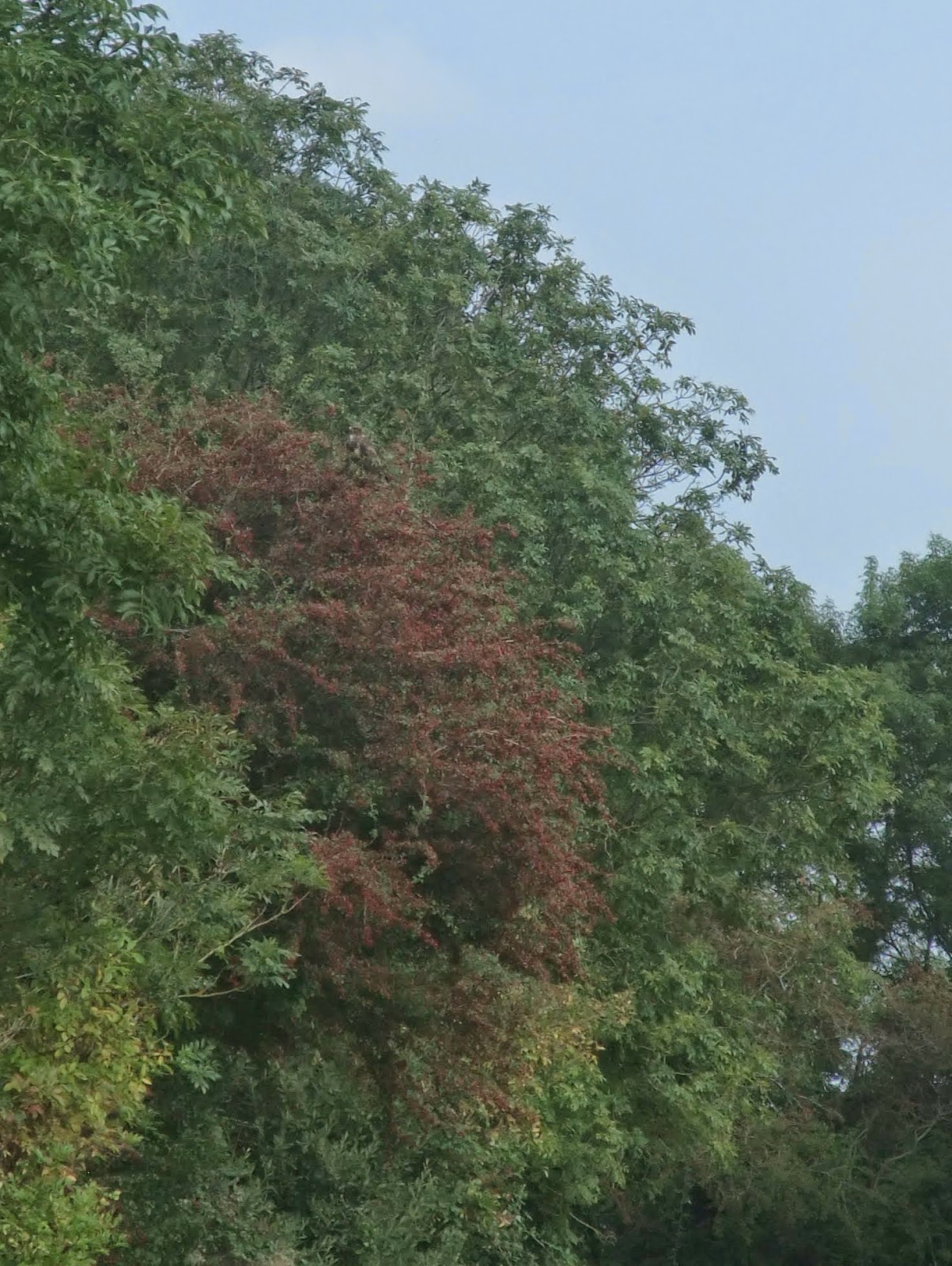 |
| Indistinct but there is a buzzard in the top of that Hawthorn |
 |
| Centre Frame a dear, there were two |
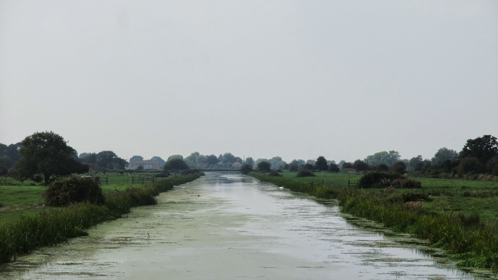 |
| River Huntspill |
 |
| One of many Swallows |
 |
| Rhyne Maintenance |
 |
| Glastonbury Tor |
 |
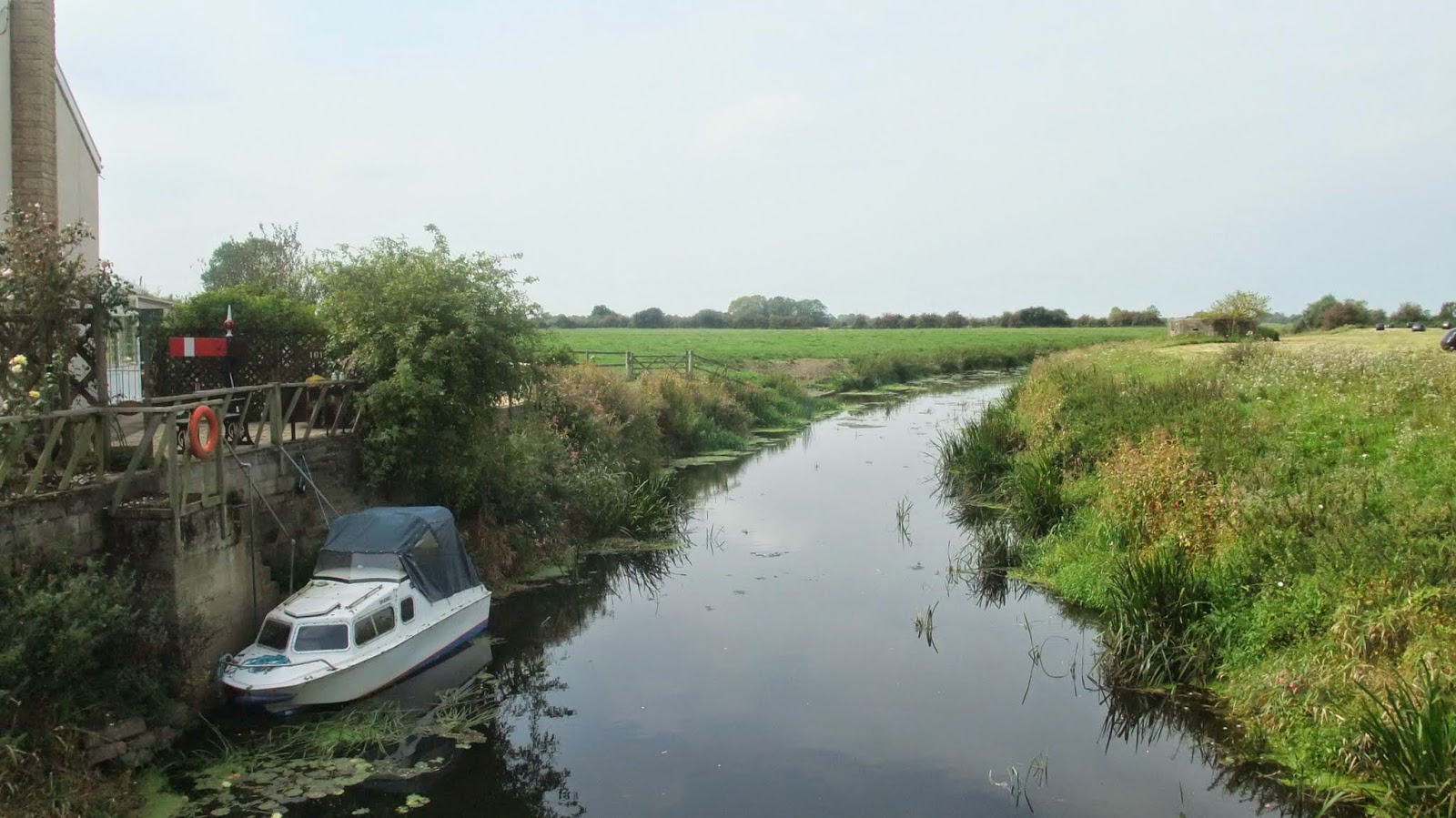
| This may be Cripps River |
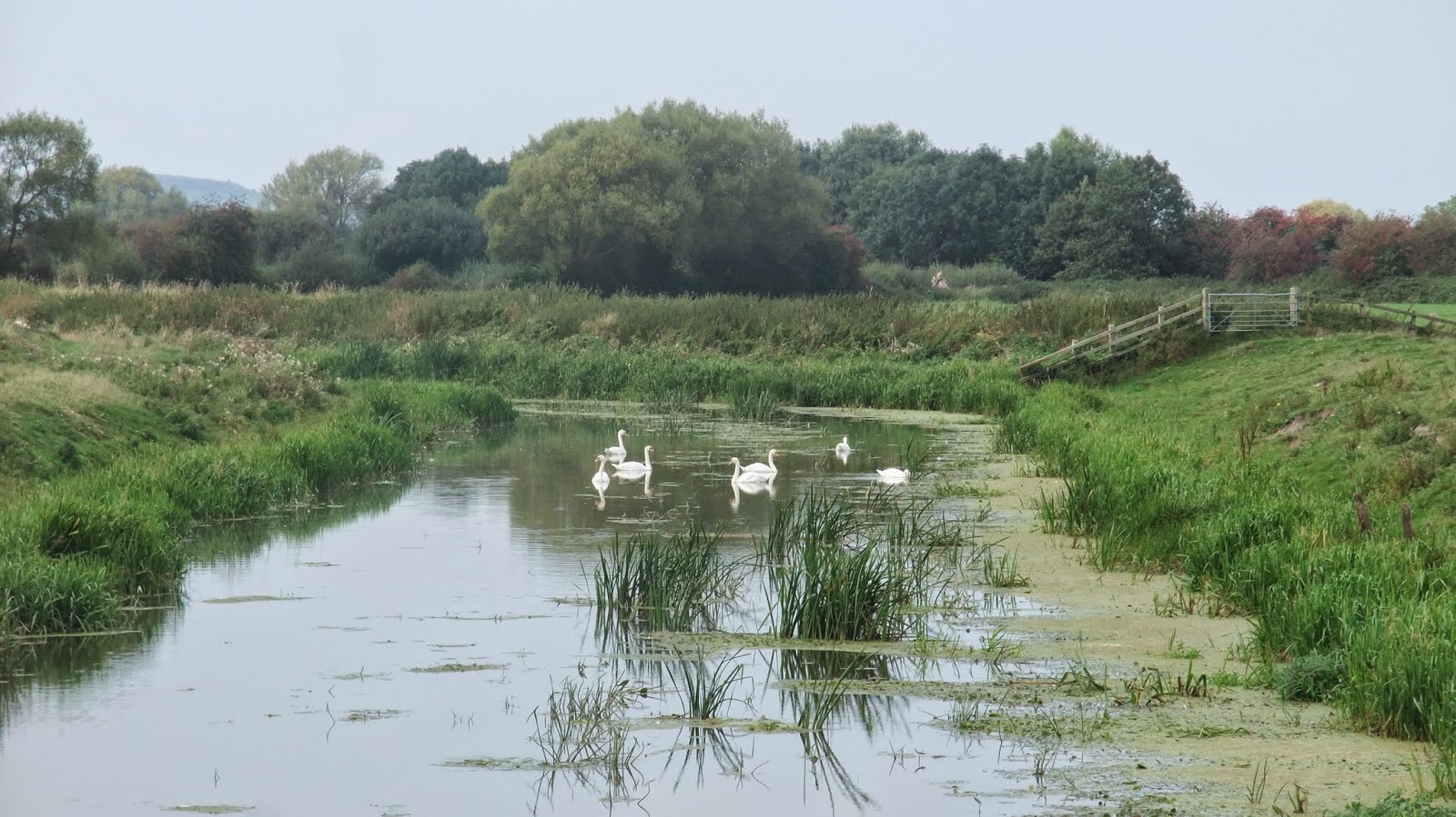 |
| Swans |
 |
| We think Guineafowl oh and Rabbits |
So that’s Rhynes and levels first impressions dealt with. I’m not going to say much
more except notes under pictures. But to give a flavour of what’s out there,
all these pictures were taken on Sunday 7th September 2014 from 11am
until around 5pm and we weren’t even trying. We weren’t so far from the beaten
track that we couldn’t take two major through roads back home via the
Watchfield Inn, in a little under an hour (rough estimate 14 miles over six
hours including half an hour in a pub). Now scroll back up the pictures and fit those
times and distances to what’s just running around on the levels on any given
day twenty minutes down some country lanes.I've not yet mentioned the dragonflies (in squadrons not just the odd one or two here and there), foxes, kestrels and Sedge Warbler, and stuff we just didn't get to ID before it made cover, or the fish in the Rhynes in their hundreds if not thousands and some that were truly impressive in size right on the surface totally un-bothered by our presence. Not a word of Roman salt works, King Arthur, listed monuments or the specific reserves.
We've barely scratched the surface of our doorstep. This blog has sat doing not much for a few weeks, that is about to change.


No comments:
Post a Comment